Perigon AI. Geospatial analytics, made sellable.
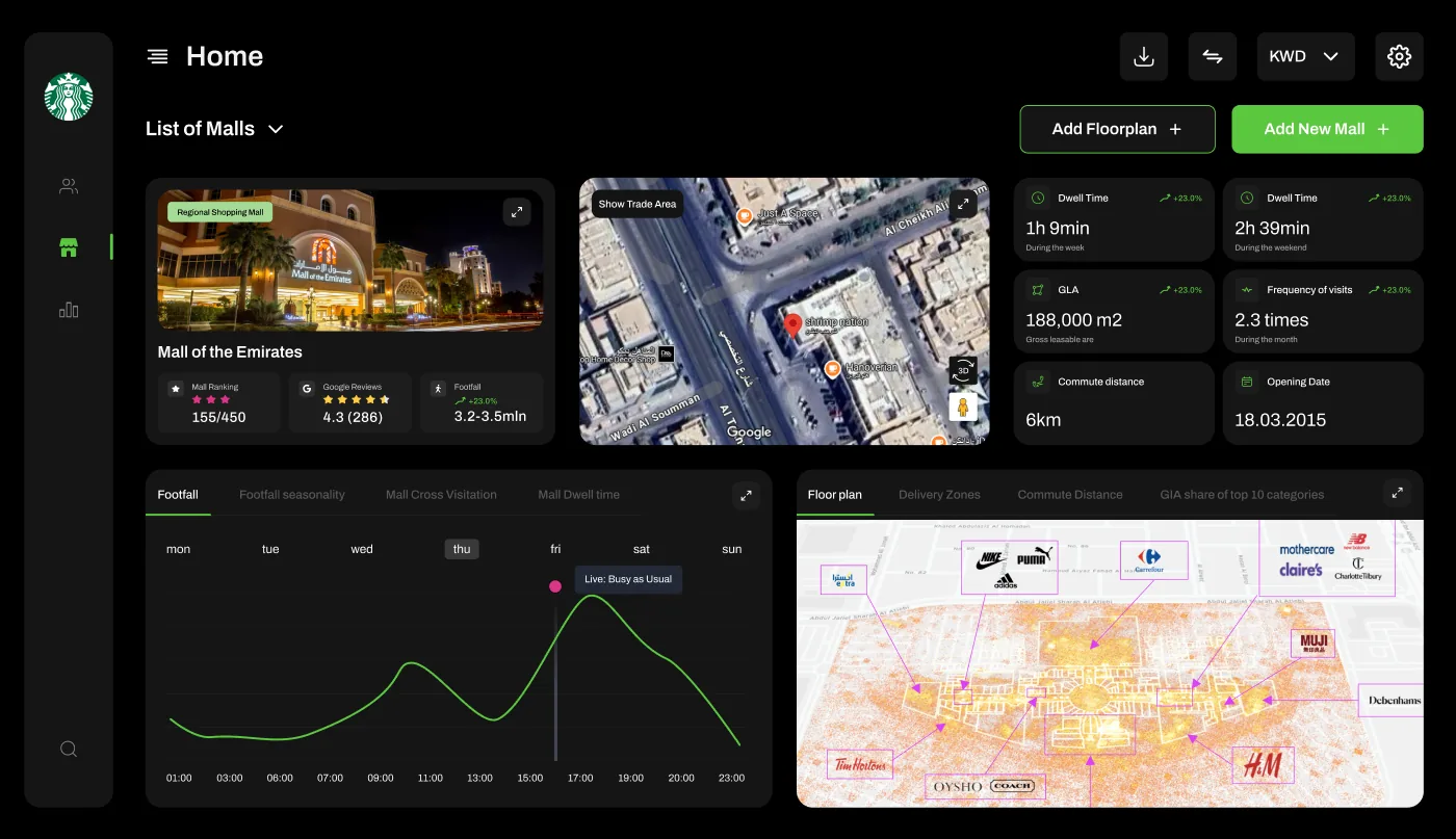
Overview. Redesigning an enterprise geospatial platform into a decision-first product that analysts use daily — and that sales can demo to win Starbucks-scale clients.
A powerful engine nobody could demo
Perigon AI needed an enterprise-ready platform to prove the value of its geospatial research to prospective clients. The existing system had the data — but lacked usability, visual clarity and the storytelling needed to convince executives of business impact.
The brief: build a showcase product that supports real analytics workflows and impresses in a pitch.
Decision-first, from the ground up
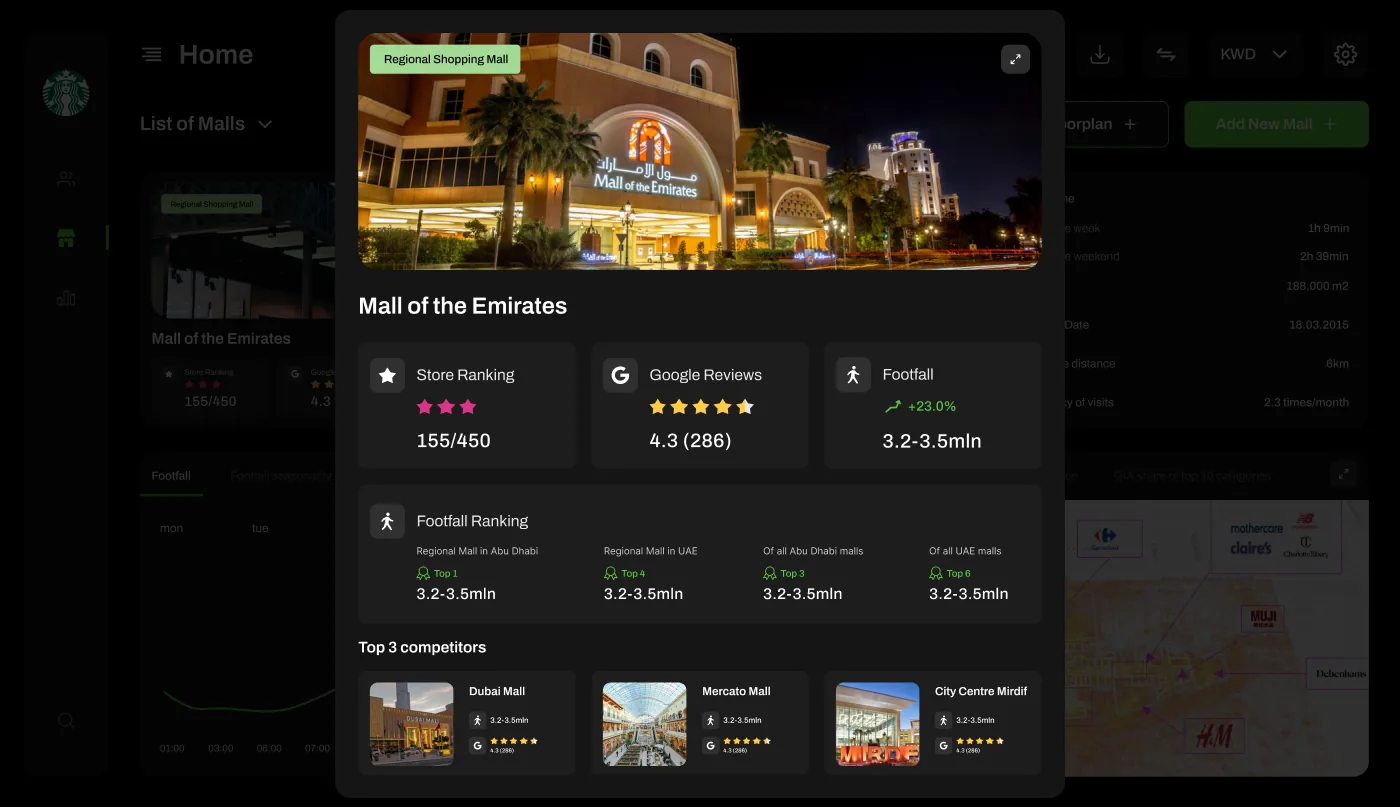
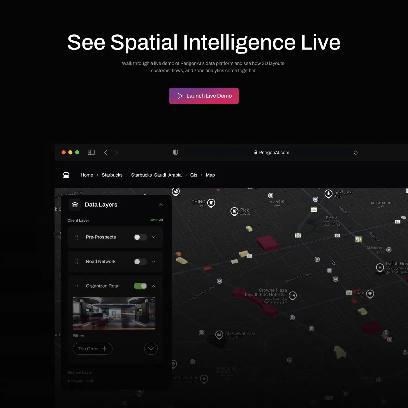
I re-architected the platform’s UX — navigation, data hierarchies and workflows — then ran user research and usability tests to make sure complex geospatial insight was intuitive to explore.
- Modular dashboards and data-visualisation templates for retail, F&B, real estate and smart-city use cases
- ROI-driven, decision-first dashboards that turn raw data into business stories
- AI/ML outputs (forecasting, catchment analysis, site scoring) translated into clear visual narratives
- Accessibility tuned so executives can use it as easily as analysts
- Fully annotated design system: states, interactions, developer-ready specs
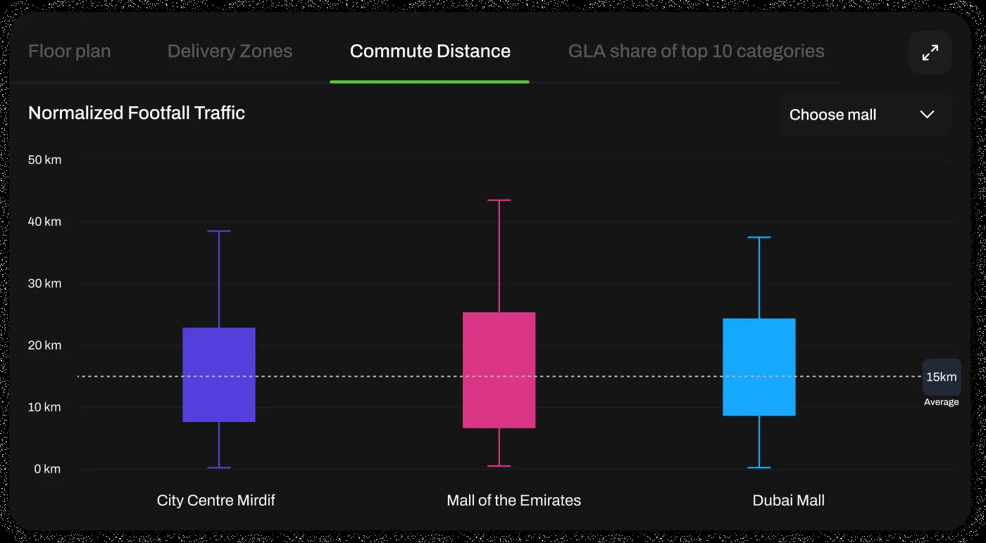
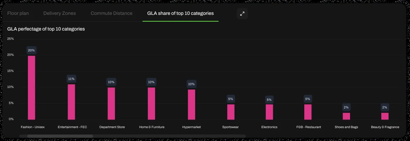
Built with data scientists and engineers
Worked closely with data scientists, engineers and product leaders on technical feasibility and client expectations. Delivered interactive Figma prototypes and high-fidelity handoffs, plus a component-based design system for long-term consistency.
Outcome. The platform became the core sales tool.